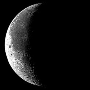
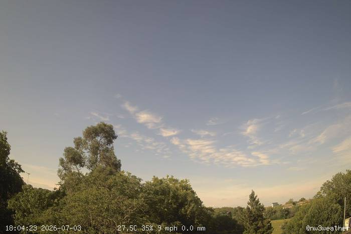
Records since 2009 (ties show the most recent year) · day max 09-21, night min 21-09 · normals 1991-2020; rain normal is the average total and the share of years with ≥0.2 mm on this date · more records
NW3 Weather is a meteorological observation site located near Hampstead, in North London, UK.
The site was established with an automatic personal weather station
in July 2010 and runs continuously, with updates at least every 60s.
This weather station has been recording data for
17 years and 275 days
Near-normal Monday with some sunny spells and record-high pressure for the date
Temperatures ranged from 7.4 °C to 11.6 °C. The max was 0.7 °C below normal and the min 0.6 °C above, leaving the mean bang on normal at 9.5 °C. That makes two days in a row with a below-normal max.
0.6 mm of rain, about a quarter of the normal for the date, and November's first rain after a dry 1st.
2.8 hours of sunshine (93% of normal, 33% of possible), a welcome change after Sunday's sunless day.
Pressure peaked at 1037.6 hPa, the highest on record for 2 November at the station (previous 1032.2 hPa in 2024).
The mean of 9.5 °C is just 0.1 °C below normal, but days have been cool: the average max of 10.9 °C is 1.5 °C below normal and the 3rd lowest for 1–2 November since 2009 (the lowest was 10.7 °C in 2018). Nights have been mild, with the average min 0.7 °C above normal.
Just 0.6 mm of rain so far, 13% of normal for the period.
2.8 hours of sunshine, 47% of normal and the 5th dullest start since 2009; 1 November was sunless.
2026 so far: the warmest and sunniest year to date on the station record, by a wide margin
The mean through 2 November is 14.4 °C, 2.1 °C above normal and well clear of the previous warmest (13.6 °C in 2022). The average max (18.8 °C) and min (10.0 °C) are both the highest for this span in the Hampstead record back to 1881.
1793.7 hours of sunshine, 123% of normal: the most since 2009 (previous 1684.0 hours in 2025) and 3rd in the long record back to 1910.
77 summer days (max ≥25 °C) and 24 hot days, far above the previous highs of 48 and 13 (both 2018). The peak was 35.8 °C on 26 June and 13 August. July was the warmest, sunniest and driest month on station record, with no rain at all, and the 51-day dry spell from 28 June to 17 August is the longest on record.
Rainfall of 472.8 mm is 95% of normal and mid-table (13th wettest of 18), despite January, February and June each being the 2nd wettest on record. 32.0 mm fell in one hour on 23 June, the 2nd highest hourly total since 2009.
At least 6 fog days, already the most since 2009 for this span. 10 air frosts (low of −4.0 °C on 6 January) and 2 days of lying snow.
October 2026: sunniest October on station record, with a wet second half and record early warmth
153.6 hours of sunshine (130% of normal) beat 2018's 153.0 for the sunniest October since 2009. 4 Oct (9.3 h) and 17 Oct (7.6 h) set date records.
Mean 12.9°C, 1.2°C above normal and 7th-warmest of 18 station Octobers. Highs ran 1.8°C above. 4–6 Oct each set a date record, peaking at 22.5°C on the 5th, and 15 Oct set date records for both max (21.2°C) and min (13.9°C). The coldest night was only 6.0°C (21st), the mildest monthly minimum since 2009, with no air frost.
Rain 89.6 mm (138% of normal), 7th-wettest since 2009. A 9-day wet spell (16–24 Oct) ended with 23.8 mm on the 24th, a date record. 7 Oct (7.4 mm) also set one.
Fog was noted at 09 on the 30th. Gusts reached 42.6 mph on the 25th, the 2nd-highest October gust since 2009.
Mean pressure (1019.3 hPa) was the 2nd-highest for October on station record.